
Walk the Kitsap County Street Directory
Begin with the address exactly as it appears today. Kitsap County keeps separate layers for the postal label, site address, mailing address, road or number correction, tax parcel, and recorded legal description. A result in one layer should lead to the next, not stand as the final answer. The Assessor identifies a taxpayer for assessment. The Auditor's recorded deed is the stronger source for a title event. Neither fact alone proves who occupied a home on the same date.
- Enter the street name in Kitsap County Parcel Details. Add the house number after confirming the spelling.
- Open the same location in the Parcel Search Map. Compare nearby lots and save each parcel or account number.
- Read the taxpayer, site address, mail address, sales history, splits and merges, and permit links as separate fields.
- Take the owner name and legal description to the Auditor recording database. Follow prior instruments when an image is available.
- For a past household, compare an edition dated near the event with census, newspaper, school, or obituary evidence.
This street-by-street sequence yields an evidence trail with dates. Save the search mode and date for every result. When a street lookup fails, retry the street name alone before deciding the address is absent. One parcel can have more than one address even though the Assessor may track only one.
Kitsap County Street Directory Search Fields
The county provides two complementary tools. Parcel Details is the cleaner text search. Parcel Search Map adds geographic context, selection tools, layers, measurements, printing, and a results table. A partial account number works in Parcel Details. For an address, the street name is required and the house number is optional. The county warns that prefixes, suffixes, and street types can narrow the results, so a broad first pass is often useful.
| Field or mode | Where used | Best use | Key limit |
|---|---|---|---|
| Parcel No. | Map and details | Stable tax-account cross-reference | A split or merge can replace it |
| Site Address | Map and details | Locating the land itself | Only one address may be tracked |
| Mail Address | Parcel Search Map | Comparing the taxpayer contact field | It may differ from the site |
| Taxpayer | Parcel Search Map | Finding assessed accounts by name | It is not proof of title |
| Street name | Parcel Details | Browsing a whole named road | Spelling and road type matter |
The results panel can link to photos and sketches, parcel details, tax history, land and building data, voting districts, sales, permit information, and a detailed tax map. These are available field families, not a promise that every parcel has data in each one. The county's weekly data downloads are useful for comparison, but record the download date because a file is only a snapshot.
The official Parcel Details screen shows the address-search choices used by the Kitsap County street directory.
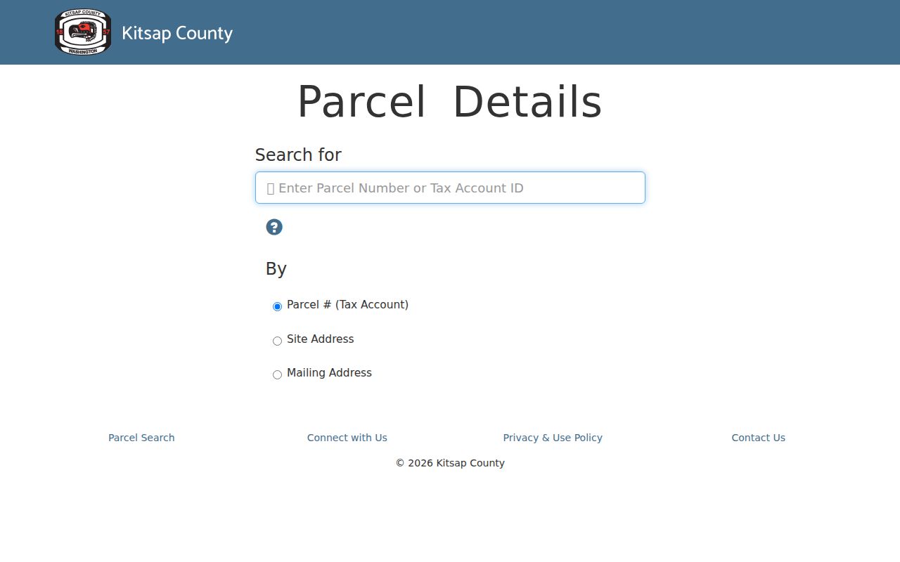
The screen makes clear why a street-only retry is a practical recovery step before adding a house number or road suffix.
Map the Kitsap County Street Directory
The Parcel Search Map can shift from the visual map to a result table. That option is easy to miss, yet it makes an address review much easier. A researcher can select parcels, add a buffer measured in feet, add or remove lots from the selection, and open the chosen set as rows. Save the selected layer, map date, parcel IDs, and buffer distance. The table supports comparison while the map keeps the physical order of lots clear.
Community bookmarks include Bainbridge Island, East and West Bremerton, Gorst, Hansville, Illahee, Indianola, Keyport, Kingston, Manchester, Port Gamble, Port Orchard, Poulsbo, Seabeck, Silverdale, Southworth, Suquamish, and Tracyton. They are map navigation aids. They do not prove an official neighborhood boundary or a person's tie to that place.
Open the Kitsap Parcel Search Map to compare lots along the road.
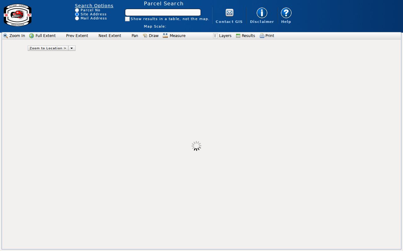
The parcel outlines add spatial context, while each linked detail page supplies the fields that should be cited in the record trail.
Note: County parcel boundaries support tax mapping and indexing, but they are not surveys and cannot settle a boundary dispute.
Kitsap County Street Directory Sources
Address records are held by several offices. The best source depends on whether the question concerns a parcel, title event, construction, postal label, or past household. A useful answer states what each record actually shows. It does not turn a tax contact, deed party, or permit applicant into a resident without independent address evidence.
| Record Set | Keeper | What It Shows | Access |
|---|---|---|---|
| Assessment account | Kitsap County Assessor | Taxpayer, site and mail address, values | Free details portal |
| Parcel map | Kitsap County GIS | Lots, sales, splits, permits, map context | Free map and result table |
| Recorded instruments | Kitsap County Auditor | Parties, dates, type, legal description | Online index, copy form, office |
| Permit and code files | Kitsap DCD or city custodian | Projects, inspections, case events | Portal or records request |
| Historical households | State Library, KRL, archives | Dated person-to-address evidence | Catalog, microfilm, staff request |
Parcel and account numbers join the Assessor to GIS. The legal description and instrument number then join the parcel to recorded deeds, plats, easements, or liens. A permit number supplies another dated event. Historical household evidence comes later and must match the time being studied. VoteWA is only a registrant's own profile portal, not a public street or name directory. Kitsap Elections provides voter data under an affidavit and Washington use limits, so it should not be treated as an open household list.
Decode Kitsap County Street Directory Records
Several terms look alike but serve different roles. Define them before comparing address-record rows. A site address describes the mapped location; the mailing field describes where assessment mail goes. A legal description identifies land through the recording system and can survive a road-name change.
- Parcel
- A tax and mapping unit identified by the county. It is not always the same as a surveyed boundary.
- Situs or site address
- The street label attached to the physical parcel, distinct from the taxpayer's mailing address.
- Plat
- A recorded map that lays out lots, roads, and other features within a subdivision.
- Criss-cross directory
- A directory arranged by street or phone number, useful for finding a dated printed occupant at an address.
Write both source labels when the site and mailing values differ. If a taxpayer name conflicts with the latest deed party, preserve both dates and retrieve the recorded instrument. Transfer timing, estates, trusts, business ownership, and update lag can explain the difference.
Follow Kitsap County Street Directory Deeds
The Auditor records deeds and many other instruments. Start with the current parcel, taxpayer name, sales entry, and legal description. In the recording index, save the instrument number, recording date, document type, grantor, grantee, book or page if shown, parcel reference, image status, and the term used. A grantor transfers an interest; a grantee receives one. Neither label alone says that the party lived on the land.
The Auditor Recording Division links the public database, recording rules, fee schedule, and copy request. The copy form accepts a record number, document type, grantor or grantee, years to search, plat or map number, and section, township, and range. That last route can be more durable than a changed street address.
The public recording database is the online door for indexed records and images.
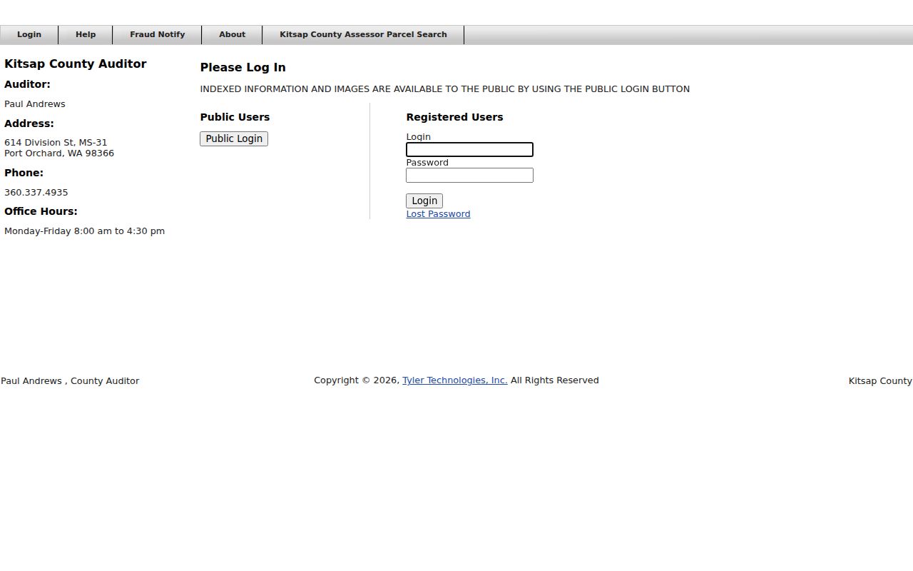
The login and record menus show why the office copy route remains important when a needed image or year is not exposed online.
Kitsap County Street Directory Name Changes
Kitsap County address corrections can change road names or number sequences without changing the land's legal status. Emergency response is one reason for the correction process. Preserve the former and current labels, notice date, effective date, parcel number, road-name history, and recording references. Those fields create a before-and-after crosswalk.
A failed modern address search may reflect a correction, typo, multiple addresses on one parcel, vacant land, or a historical road label. Retry the street name without the house number. Then check the plat, legal description, DCD file, and prior parcel IDs. USPS can confirm the current delivery label, but a postal city is not the same thing as a municipal boundary or county service area.
The county's address-correction information documents this local source of street-directory mismatches.
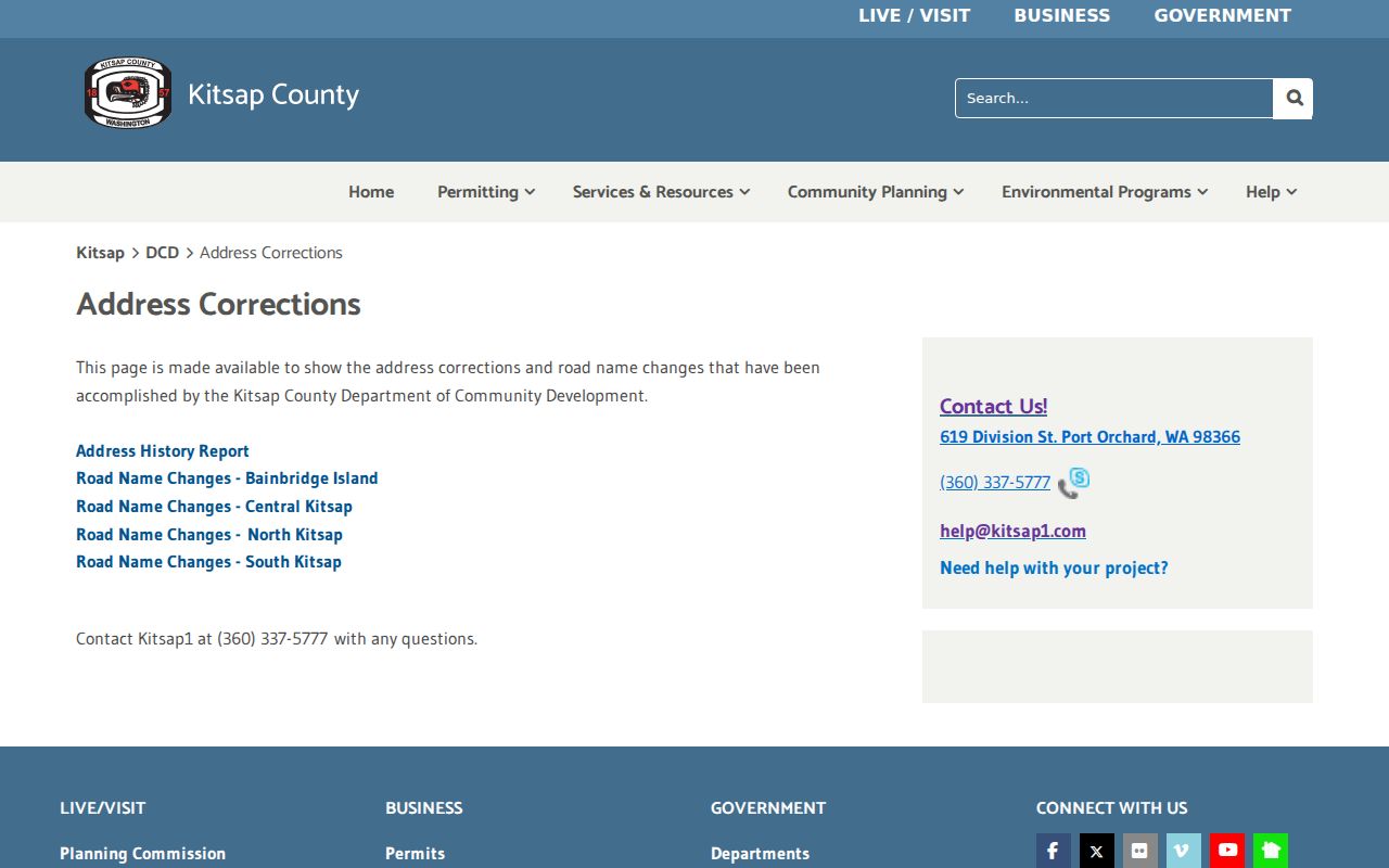
The official process gives an address change a date and agency trail, which is stronger than guessing from an old label.
Note: Record a no-result as not located in the named official source on the search date, then identify the next custodian.
Kitsap Streets in Permit Files
Development records add dated events to a parcel history. Kitsap County DCD handles permits, inspections, code, fire, and land-use material for unincorporated areas. Its public-record route asks for enough detail to identify the parcel, address, date range, and exact record class. A municipality such as Bremerton keeps its own city records, so first establish which government had jurisdiction on the event date.
When the GIS panel exposes DCD Permit Info, save the permit or case identifier. If the electronic file is missing, submit the specialized DCD route or use the Kitsap public-records hub and GovQA. The county can provide records, deny with an exemption, acknowledge with an estimate, or request clarification within its five-business-day initial response practice. Court files follow court access rules and do not belong in the general county request queue.
The DCD records page identifies the address-based record classes and request route.
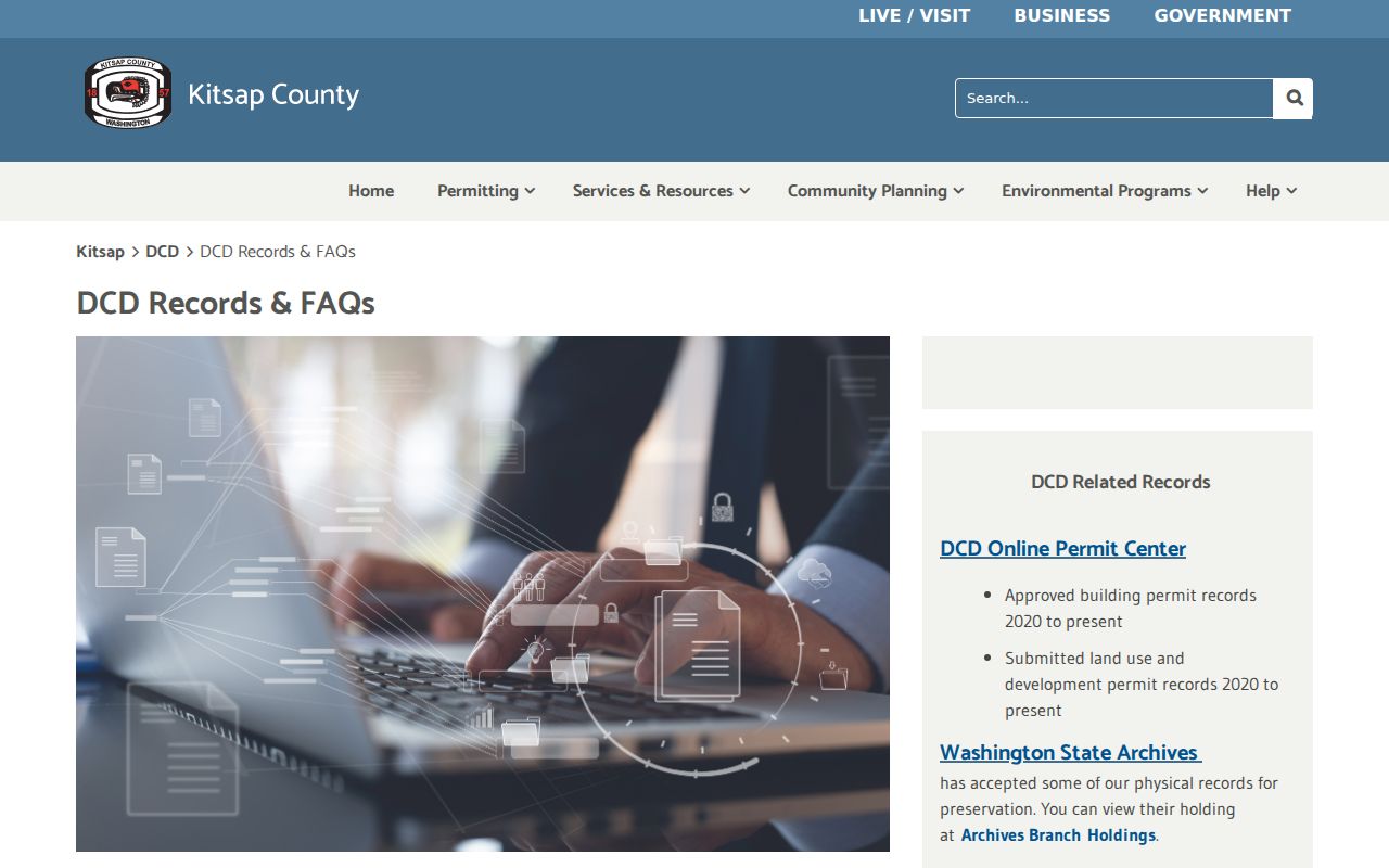
The record categories help narrow a request to the event and time span that matter for one street or parcel.
Past Kitsap Streets on Paper
Modern portals have limits. For older address evidence, the State Library lists Kitsap county directory runs beginning in the 1880s and Bremerton-area runs through 2009. The Library of Congress identifies Bremerton and vicinity criss-cross directories for 1979 through 1996. Released federal census schedules reach 1950 under the 72-year rule. Each source is dated evidence, not continuous proof between editions.
Kitsap Regional Library offers microfilm, obituary help, and a genealogy center at Sylvan Way. The Kitsap History Museum holds maps, photographs, books, yearbooks, and records. Poulsbo Historical Society describes street-sorted house binders, early plat maps, school material, and a 1933 sewer utility map. For full details on the editions themselves, use the Kitsap County city directories resource. Here, the point is to connect a dated street label to a printed household and then test it against a second source.
Kitsap County Street Directory Limits
No official source offers a complete roster of every person at every Kitsap County address. The Assessor shows an assessment account. The Auditor index shows recorded parties and events. GIS places tax lots on a map. Permits document regulated work. A printed directory or released census may place a household at a date, but editions can omit rural delivery, use initials, contain errors, or lag a move.
Protected and restricted data must remain protected. Washington's Address Confidentiality Program supplies substitute addresses to eligible participants. Public voter data requires an affidavit and is governed by RCW 29A.08.720. Motor-vehicle personal data, sealed files, and protected customer information are not gaps to fill from guesswork. A sound street-directory conclusion uses two time-aligned sources and states its limits.
Lawful use. Use Kitsap County address records for lawful family, property, consumer-safety, and civic research. Never use them to stalk, harass, intimidate, or harm anyone.
Keep claims narrow. “Taxpayer shown on the inspected date” is more accurate than “owner and resident.” “Recorded party” is more accurate than “occupant” when no independent household record exists. The Kitsap County resident lookup workflow is the better route when the question shifts from a road to one specific person.